Every few years, San Diego gets a preview of what happens when its yards weren't built for real rain. This looks like one of those years, and the warning is arriving earlier and with more specificity than usual. Climate scientists who track the Pacific Ocean's El Niño-Southern Oscillation cycle have spent the past several months …
Every few years, San Diego gets a preview of what happens when its yards weren’t built for real rain. This looks like one of those years, and the warning is arriving earlier and with more specificity than usual.
Climate scientists who track the Pacific Ocean’s El Niño-Southern Oscillation cycle have spent the past several months watching a pattern most of them don’t see develop this cleanly very often.
How Unusual This Forecast Actually Is
By June, NOAA’s official forecast showed nearly 90% odds of an event reaching at least strong intensity, and over 60% odds of a very strong event developing by autumn or early winter, according to climate scientist Daniel Swain’s analysis for Weather West. Every major international model ensemble now agrees on at least a strong event, with most pointing toward the high end.
That level of model agreement is unusual. Weaker El Niño years produce weak, noisy correlations with California rainfall that are hard to plan around. Strong and very strong events are different: they’re associated with a clear, well-documented increase in the odds of extreme precipitation and flood risk across Southern California specifically, not just the state as a whole.
Why “Might Not Happen” Isn’t the Same as “Safe to Ignore”
None of this guarantees a wet winter. The 2015-16 event, one of the strongest on record, turned out surprisingly dry for large parts of Southern California, and scientists are careful to note that a single strong El Niño can still underperform its odds.
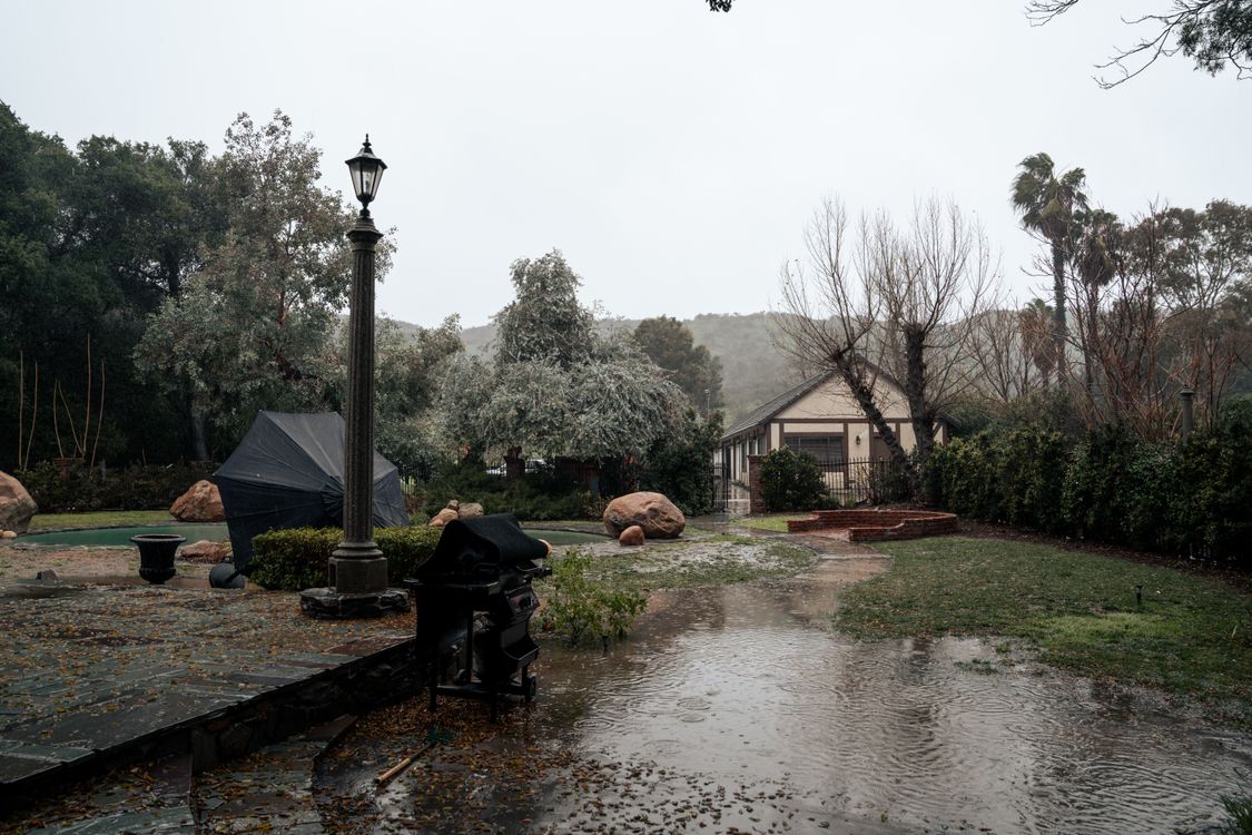
But the two other comparably large events in the last several decades, 1982-83 and 1997-98, were both extremely wet in California. And with atmospheric river activity known to cluster more heavily during El Niño winters, the risk isn’t just “more rain spread evenly.” It’s concentrated storm systems capable of dumping large volumes of water in short windows, which is exactly the scenario that overwhelms a yard without proper drainage.
For San Diego properties built on the region’s common expansive clay soils, that concentration matters more than total seasonal rainfall. A yard can handle a slow, steady winter without much drama. It’s the sudden, heavy storm that finds every low spot, every clogged swale, and every retaining wall without a working weep system.
What Homeowners Are Doing With the Lead Time
French drains, trench drains, and sump systems all take time to install correctly: proper trenching and the right slope, and gravel and pipe sized for the property’s actual water flow. None of that goes quickly once the ground is saturated and contractors are booked solid responding to active flooding.
That’s the practical calculation behind the current uptick in drainage inquiries. A system installed in late summer, while soil is dry and crews have open schedules, is a system that’s tested and functioning before the first real storm arrives. A system started reactively, after standing water has already appeared against a foundation, is starting from a worse position entirely.
Nobody can say with certainty in July what next February will look like. But when the forecast models agree this strongly, and the historical stakes of a strong El Niño winter are this well documented, waiting to see what happens isn’t really a neutral choice. It’s a bet on the model being wrong.